When you travel across Botswana, you don’t just move through space ; you move through stories written in water, sand, and stone. This is a land of contrasts, where every horizon tells its own tale.
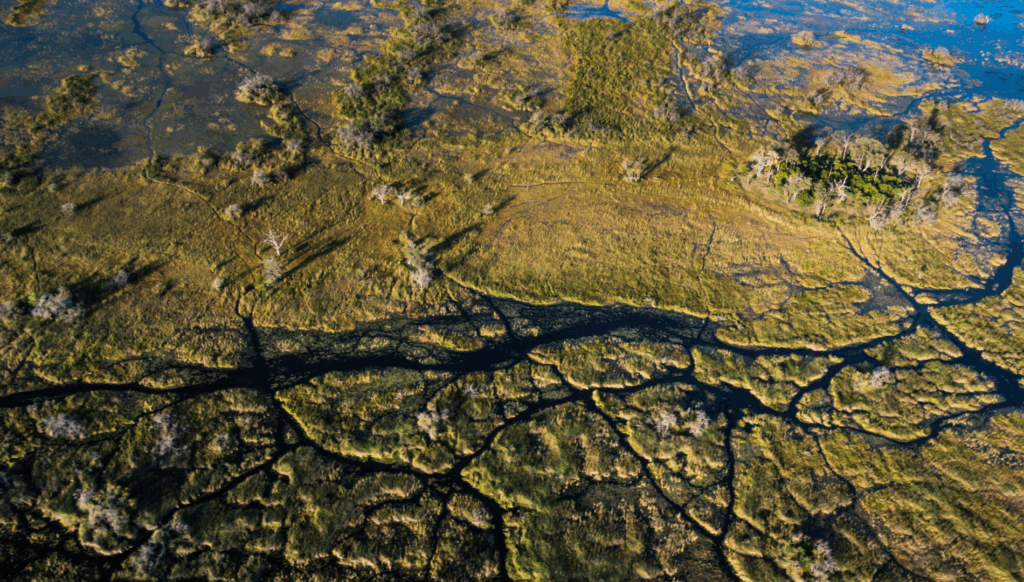
Your journey begins in the northwest, where water defies the desert. Here, the Okavango Delta spreads like an open hand across the sands; the largest inland delta in the world and a UNESCO World Heritage Site. Each year, waters born in Angola’s highlands travel as the Cubango, flow through Namibia as the Kavango, and finally reach Botswana as the Okavango; spilling into the thirsty Kalahari, breathing life into lagoons and floodplains where elephants wade and fish eagles cry overhead.
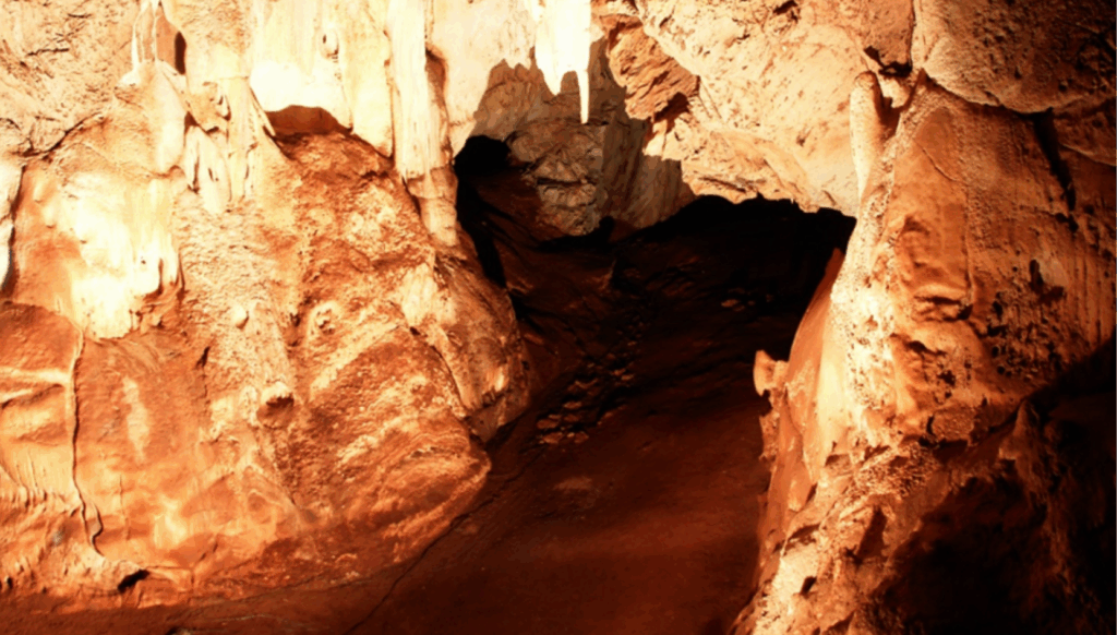
A little further west, the Aha, Gcwihaba, and Koanaka Hills rise quietly from the sandveld; clusters of dolomite hills that hide a secret beneath them: the Gcwihaba Caves. Inside, time stands still. Stalactites, stalagmites, and delicate soda straws shimmer in the dim light; formations so ancient and untouched that researchers seal the caves after each visit to preserve their fragile air.
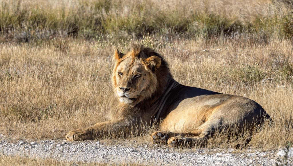
As you continue southwest, the landscape begins to shift. The green fades, the air grows drier, and the red sands of the Kgalagadi begin to appear. This vast, open land, shared with South Africa, forms the Kgalagadi Transfrontier Park, Africa’s first formally declared transboundary park. Here, gemsboks and springboks stand like statues against orange dunes, and black-maned lions rule the desert plains. It’s a place that reminds you that even in scarcity, life thrives.
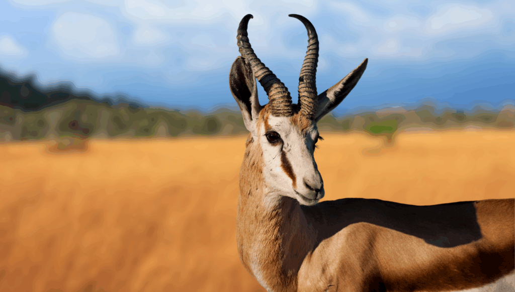
Moving eastward, you reach the wide expanse of the Central Kalahari Game Reserve (CKGR); one of the largest protected areas in Africa. The land stretches endlessly, dotted with acacia trees and salt grass. It’s a place of quiet strength, where springbok leap across ancient valleys and our San communities have walked for generations, reading the land like a living map.
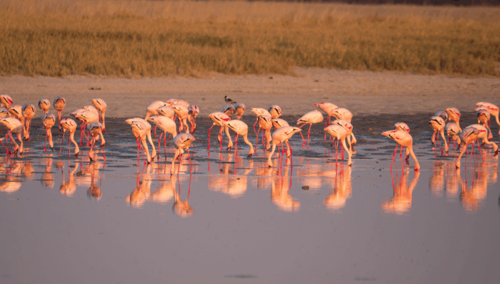
From here, you travel northeast, and the desert gives way to something altogether otherworldly — the Makgadikgadi and Nxai Pans. Once a massive inland lake, these salt-encrusted basins now glisten under the sun, stretching so wide they blur the horizon. When the rains arrive, the pans transform into shimmering wetlands that attract flamingos and one of the largest zebra migrations in the world. Nearby, the iconic Baines’ Baobabs stand tall, marking time in silence.
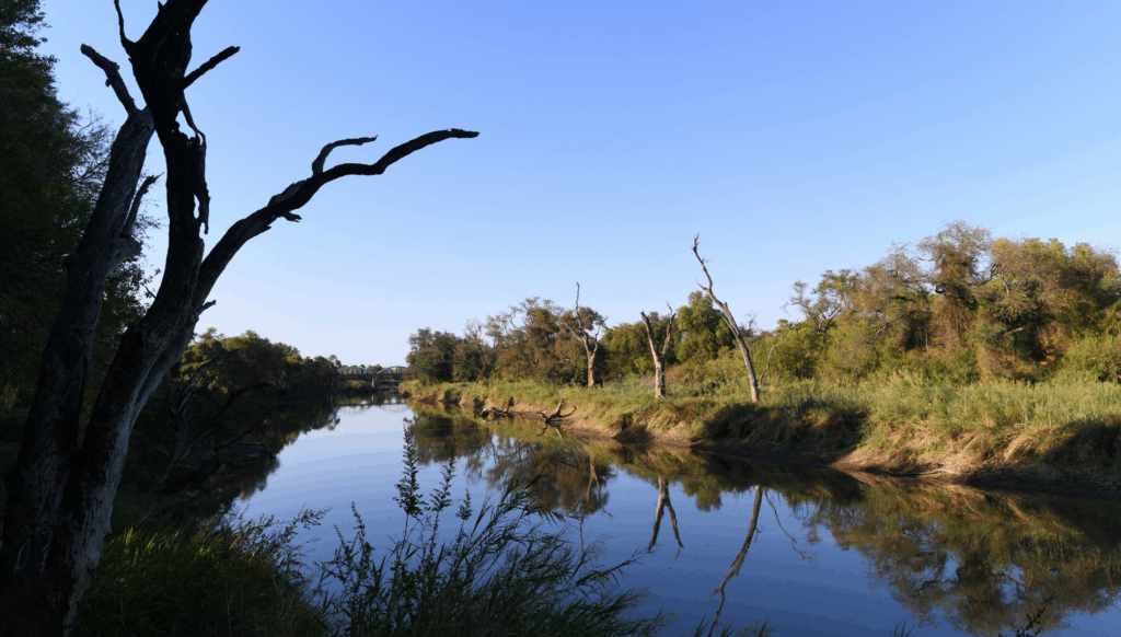
Continuing east, the terrain hardens into what’s known as the hardveld, a region of rolling hills, rocky outcrops, and fertile soils. Here, the landscape feels gentler; home to farms, villages, and the enduring rhythm of everyday life. The land gradually descends toward the Limpopo River, which forms Botswana’s southeastern boundary, a lifeline flowing quietly between nations.
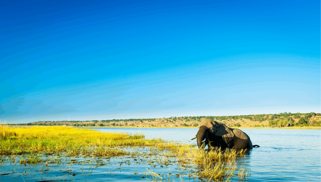
And then, as you turn north, the land rises again into the lush woodlands and river systems of Chobe. This is a place of abundance ; where elephants by the hundreds gather at the water’s edge, and the Chobe River reflects sunsets of pure gold. The Chobe National Park is not only one of Botswana’s most famous wildlife sanctuaries but also a living symbol of coexistence between land, water, and life itself.
By the time you’ve circled back to where your journey began, you realize something profound; Botswana is not a single landscape but a collection of living worlds, each flowing into the next like chapters in a timeless story. From the depths of Gcwihaba’s caves to the floodplains of Chobe, every part of this land invites you to pause, to listen, and to see how beautifully nature tells its story here.